Biking Upper Arlington to downtown Columbus: a 22-mile round trip, mile by mile
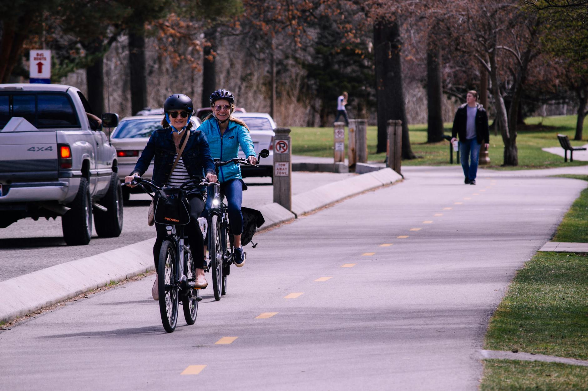 Paved riverside bike path running beneath trees toward a city skyline
The one bike route that turns this suburb into a car-free city break: about 11 miles each way, almost all of it on separated paved trail, with three sensible turnaround points.
The route in one paragraph, and who should ride it
From Upper Arlington you drop southeast to Grandview Heights, pick up the Olentangy Trail near West Fifth Avenue and Olentangy River Road, and follow the river south past Ohio State, Ohio Stadium and Harrison West into downtown Columbus, where the Olentangy meets the Scioto and the trail continues along the Scioto Mile. It is roughly 11 miles from a Tremont Road start to the Bicentennial Park fountain, about 22 miles round trip, and the elevation change is negligible — you are riding a river valley. At a relaxed 11-12mph that is an hour each way, plus stops.
It suits anyone comfortable riding two to three miles on quiet suburban streets before the trail begins; the trail itself is a paved, mostly 10-foot-wide, largely separated path where children ride. It does not suit riders who want zero road interaction, because the first two miles out of Upper Arlington involve real intersections, and it does not suit anyone in a hurry: this is a five-hour outing with lunch, not a commute. Do it on a weekday if you can. Weekend afternoons between May and September put runners, dogs and families on the same asphalt.
Miles 0-2: getting out of the suburb, the fiddliest part
The trail is the easy bit; reaching it is the part that needs thought. From the Mallway or Northam Park, work southeast via Northwest Boulevard, which carries the most direct traffic flow toward Grandview, or use the quieter parallel residential streets if you prefer to trade distance for calm. You are aiming for the West Fifth Avenue and Olentangy River Road area, where trail access points sit near the river. There are traffic lights, a couple of wide crossings and a stretch where the shoulder narrows, so this is a lights-on, high-visibility two miles even in daylight.
Two practical notes. First, Grandview Avenue's three blocks of cafés are a legitimate coffee stop at mile 1.5 and cost you five minutes; Stauf's Coffee Roasters on Grandview Avenue is the local institution. Second, trail access points and connections around Fifth Avenue have been altered by roadworks more than once in recent years, so pull up the Columbus Recreation and Parks trail map before you set off and confirm nothing is closed. A closed connector here can add a mile of unpleasant street riding to an otherwise pleasant morning.
Miles 2-6: through Ohio State, the busy and the good bit
Once on the Olentangy Trail heading south, the character changes immediately: trees on both sides, the river on your right, and the noise of SR-315 filtered out by the bank. You pass the Ohio State recreational fields, then the back of Ohio Stadium — the 1922 horseshoe seats over 100,000 — and the campus boathouses. This stretch is the busiest on the whole route because it doubles as student commuting infrastructure, and you should expect pedestrians three abreast and the occasional scooter. Ring, call out, and keep your speed at 10mph through the campus mile.
Two detours are worth taking. Chadwick Arboretum on the west side of campus is free and quiet. And if you lock up for twenty minutes, the 11th-floor reading room of Thompson Library gives you the best free skyline view in the city, looking straight down the Oval to the downtown towers. On Ohio State home football Saturdays this entire section becomes impassable from mid-morning — tens of thousands of people, road closures and stewarded crossings — so pick another day or another route between September and late November.
Miles 6-11: Harrison West to the Scioto Mile
South of campus the trail passes Harrison West and Goodale, the river widens, and the skyline stops being a glimpse and becomes the view. You cross into the confluence area, where the Olentangy meets the Scioto and the path links to the Scioto Trail. North Bank Park is the first proper downtown stop, with lawns and toilets; from there the Scioto Mile runs south past Genoa Park, COSI on the west bank and Bicentennial Park, where the interactive fountain runs in warm months and is full of shrieking children by noon.
Turn around here for a clean 22 miles, or push another 1.5 miles south to Scioto Audubon Metro Park, which is the better finish: reclaimed industrial land with a 35-foot outdoor climbing wall that anyone can use for free, a boardwalk over wetland, and an observation tower with a straight-on skyline shot. That makes it about 25 miles round trip. Lock up and eat at North Market downtown, a covered market hall of independent food stalls about half a mile from the river path, which is the single best refuelling stop on the route.
The northern alternative: Antrim Park to Worthington
If downtown does not appeal, ride the Olentangy Trail north instead. From the Fifth Avenue area it runs upriver past Antrim Park, whose 1.2-mile lake loop is the most-walked circuit on the north side, then on through wooded corridor toward Worthington, finishing around the Wilson Bridge Road area roughly 9 miles from your start. Worthington's village green and the 18th-century-style buildings around High Street make a good coffee turnaround, and the Saturday farmers market there is one of the largest in central Ohio in season.
The northern ride is quieter, flatter in feel and better for nervous riders, but it is scenically monotonous compared with the downtown run, and there is no equivalent of the skyline payoff. Do it as your second ride, not your first. Note also that both trail directions follow floodplain: after heavy rain the Olentangy overtops the path in several low sections and Columbus closes them until the silt is cleared. Check trail status before riding in spring, when the river runs highest.
Bikes, e-bikes and what to carry
Upper Arlington has no bike hire counter of its own, which is the honest gap in this plan. Your options are the bike shops in Grandview, Clintonville and Dublin, some of which rent by the day, and CoGo Bike Share, the Columbus dock-based scheme whose stations concentrate downtown, around campus and in Grandview rather than out in the suburb — check the CoGo map and current pricing before you count on it. If you are staying more than three days and intend to ride twice, a shop rental at a daily rate beats fiddling with docks.
Carry two litres of water in July and August, when Columbus routinely sits at 85-90F with high humidity and the trail's tree cover is patchy through the campus section. Carry a spare tube: there is no bike shop on the trail itself between Grandview and downtown. Lights are essential if you might return after 8pm, and a decent U-lock matters for the downtown stops. Helmets are not universally mandated for adults in Ohio, but wear one; you will be sharing intersections with distracted drivers on the first two miles.
Where to sleep at each end
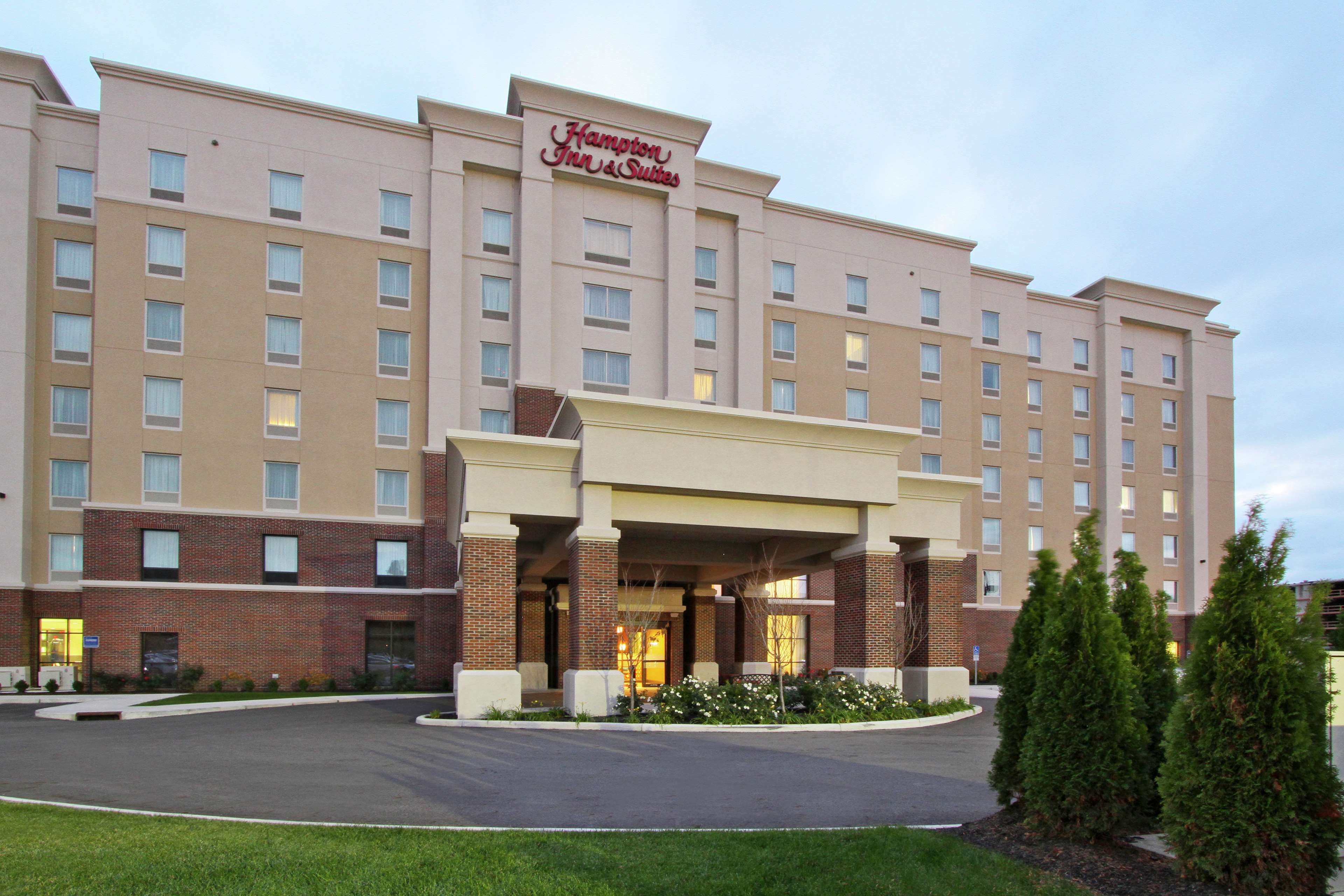
If you want to ride from the door, book the Olentangy River Road and Lane Avenue corridor. It puts you within a mile or two of trail access, midweek rates typically land at $115-165, and hotels there are used to guests wheeling bikes through lobbies — ask about a luggage room or a ground-floor store rather than assuming a rack exists. Grandview Yard, ten minutes southeast, is the better base for evenings, at roughly $150-220 at weekends, and it shaves the awkward suburban approach down to under a mile.
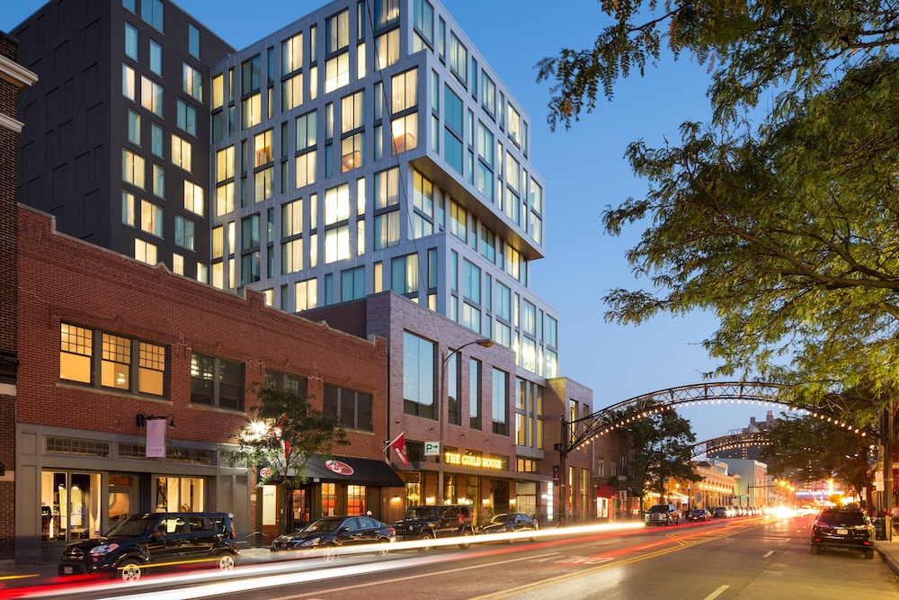
For a two-night version, ride south on day one and stay downtown, in the High Street and Arena District hotels, commonly $160-260, then ride back the following morning with fresh legs and an empty trail before 9am. That splits the mileage into two 11-mile halves and gives you a night in the Short North's gallery and restaurant strip. If you only have one night and no strong feelings, take Grandview Yard: it is the compromise that costs the least time in the saddle you did not want.
Before you book
What people ask before booking Upper Arlington.
The trail itself is paved, mostly separated and widely used by families. The weak link is the two suburban miles from Upper Arlington to the trailhead, which involve real intersections. With children, drive to Antrim Park or a Fifth Avenue trailhead, park free, and start the ride there instead.
Plan five hours door to door: about an hour of riding each way at a relaxed pace, plus a 45-minute lunch, a fountain stop and photo time. Riders averaging 14mph and skipping stops can do it in three, but the downtown mile is too congested to hurry.
Flooding after heavy rain and construction detours are the two regular causes, and closures can last days. Check the Columbus Recreation and Parks trail information before you set out, especially between March and May, when the Olentangy runs high and low-lying sections silt up.
Yes, and it is the best argument for one here, since the 22 miles are otherwise the day's whole workout. Class 1 and 2 e-bikes are generally accepted on Columbus multi-use trails, but speed still needs to drop to walking pace through the campus section. Confirm current trail rules with the city.